Home Features Río Guayllabamba
River valley landscape near the cloud forest
River valley • Pacific watershed

Río Guayllabamba

A major Andean river system that shapes nearby valleys and ecosystems. From highland headwaters, it flows through changing landscapes toward Ecuador’s Pacific slope.

What it is

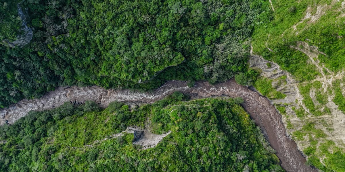
Course, basin, and why it matters

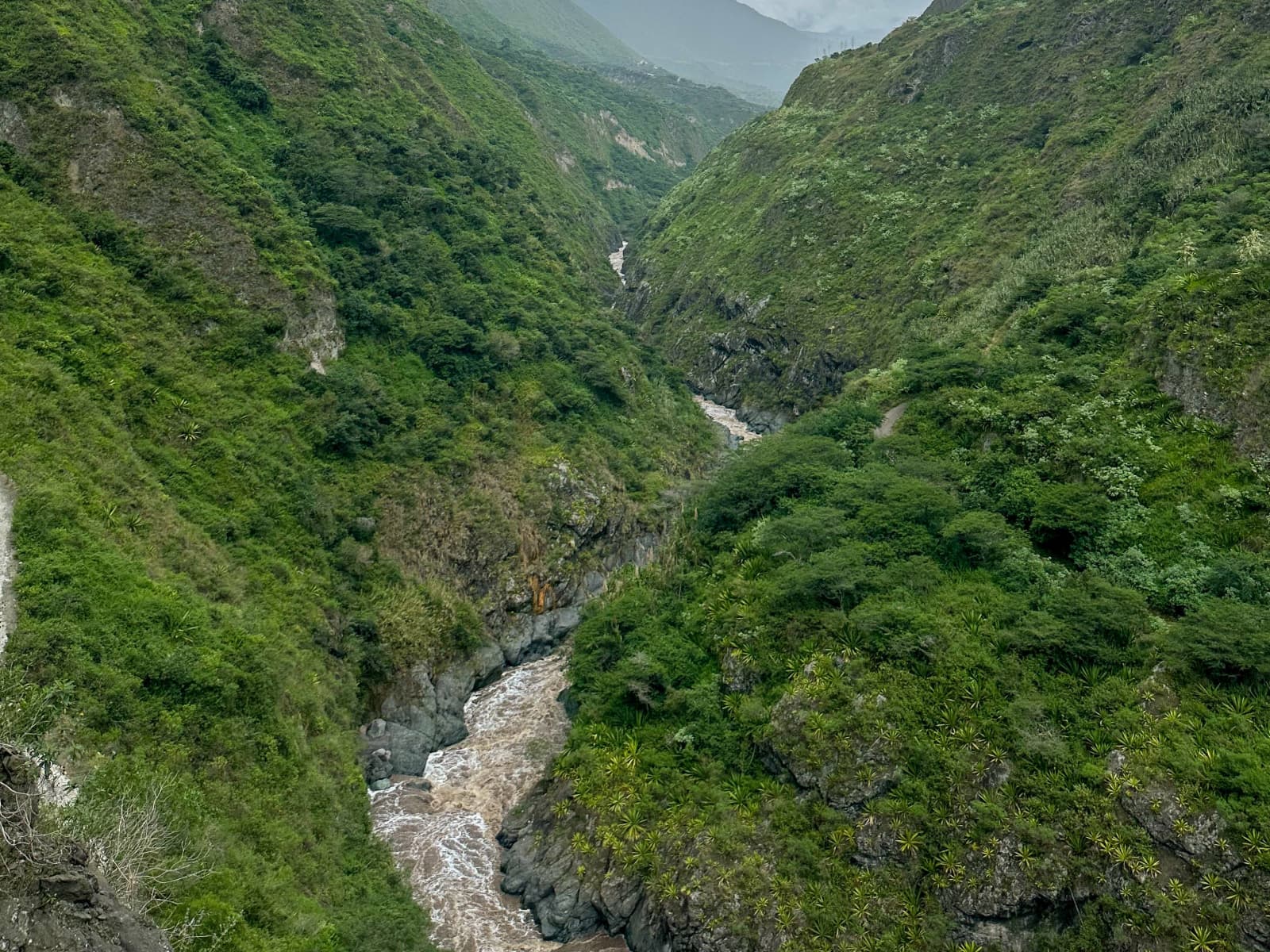
The Río Guayllabamba is a key river of the northern Andean region. It links cooler highlands to warmer foothills and helps support farms, communities, and wildlife along the way.

In the cloud forest zone, the river and its tributaries influence humidity, plant growth, and the transitions you feel as you move from ridge viewpoints down toward the valley.

Watershed: Pacific slope Region: Andean highlands Role: valley lifeline
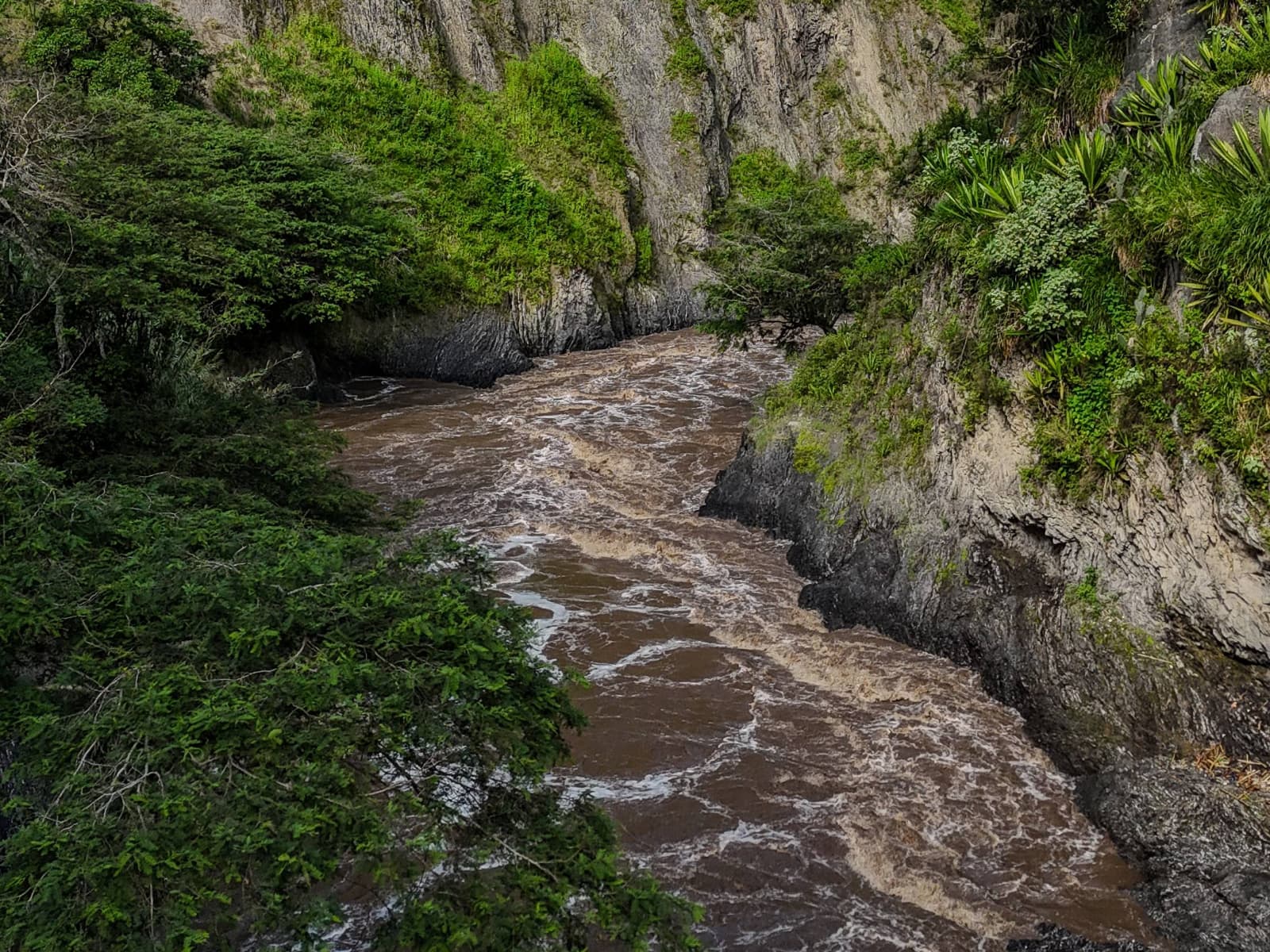
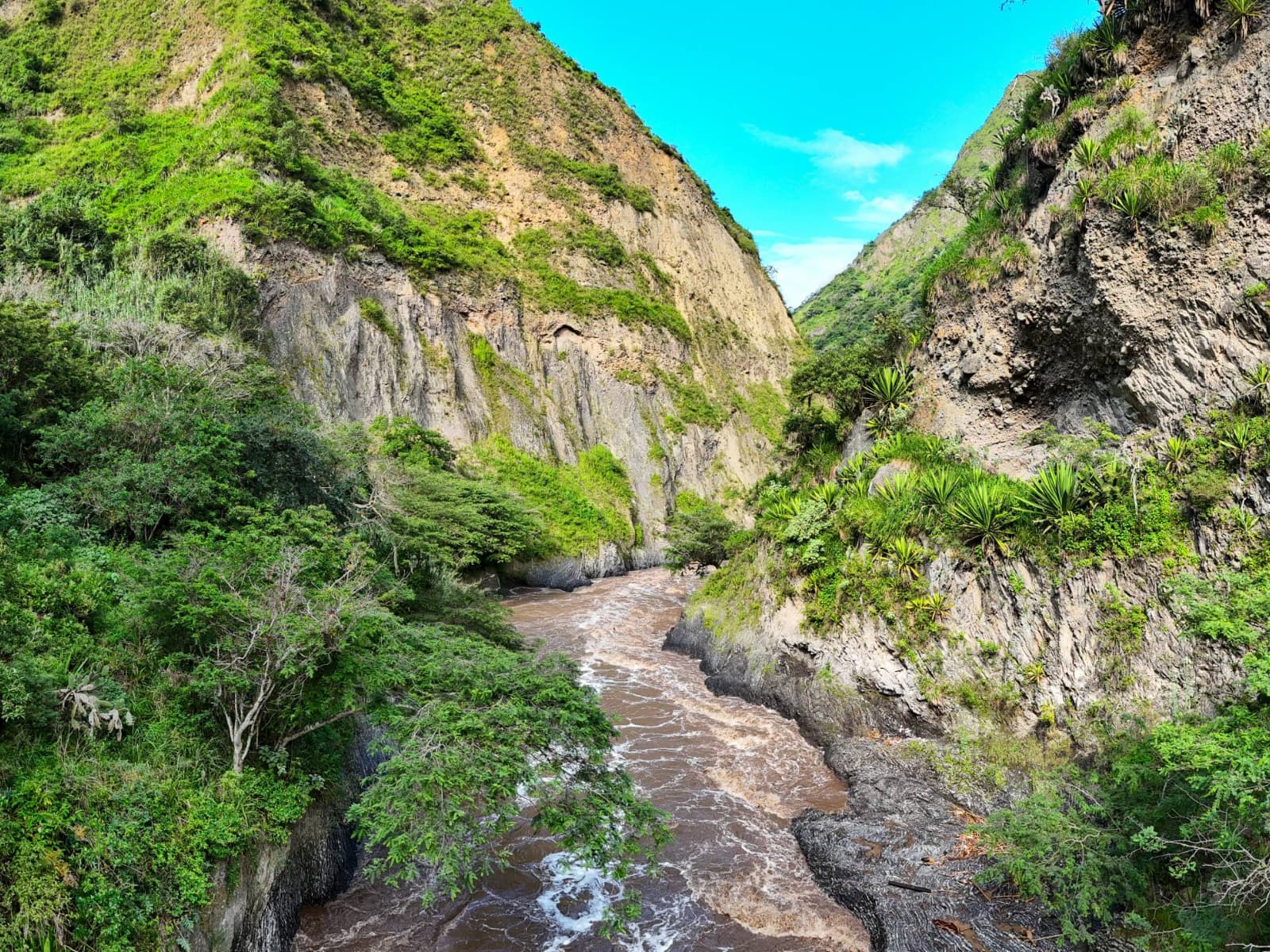
A river you can feel from the ridgelines

Around the cloud forest, rivers are not just scenery. They connect misty peaks to fertile valleys. When you hike down, you are walking through changing ecosystems.

River scenes

Autoplays every ~3 seconds. Use arrows or dots.

River valley view from a ridge
Valley ridgelines and river cuts
Green slopes near the river after rain
Green slopes after the rain
Trail view toward the river
Trail views down toward the water
Cloud forest edges above the valley
Cloud forest edges and foothills
Golden hour light across the valley
Quiet moments at golden hour

Want to hike down toward the river?

Ask us what conditions are like during your dates and we will recommend the best time of day to go. For a quieter experience, aim for early morning.