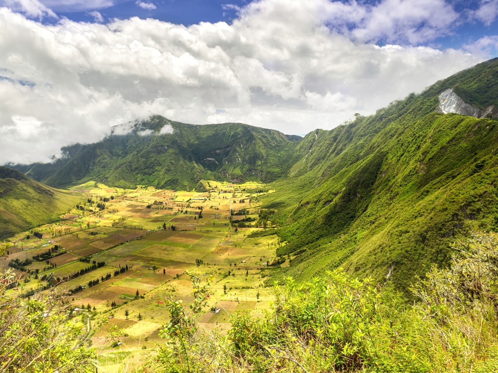
Caldera walls
The surrounding ridges reveal the scale and shape of the collapsed volcanic landscape.
A volcanic landscape near Quito
Pululahua is a volcanic caldera whose ridges, cultivated floor and fast-changing cloud cover create a distinctive landscape. Use this guide for context, then confirm access, timing, weather and transport for your dates.
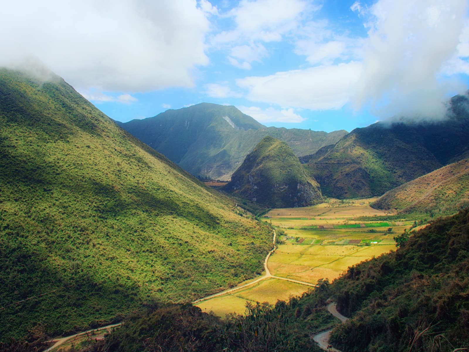
Visibility can shift quickly as cloud moves across the caldera.
Read the landscape
The caldera combines steep volcanic walls, agricultural areas and variable mountain weather. A responsible visit starts with realistic timing and current local guidance.
The surrounding ridges reveal the scale and shape of the collapsed volcanic landscape.
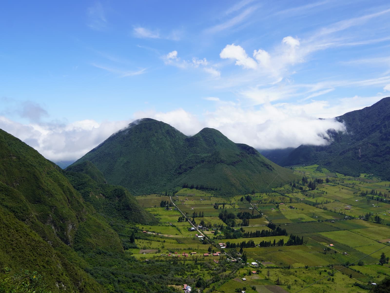
Fields and residences make this more than a viewpoint; respect local roads, property and daily life.
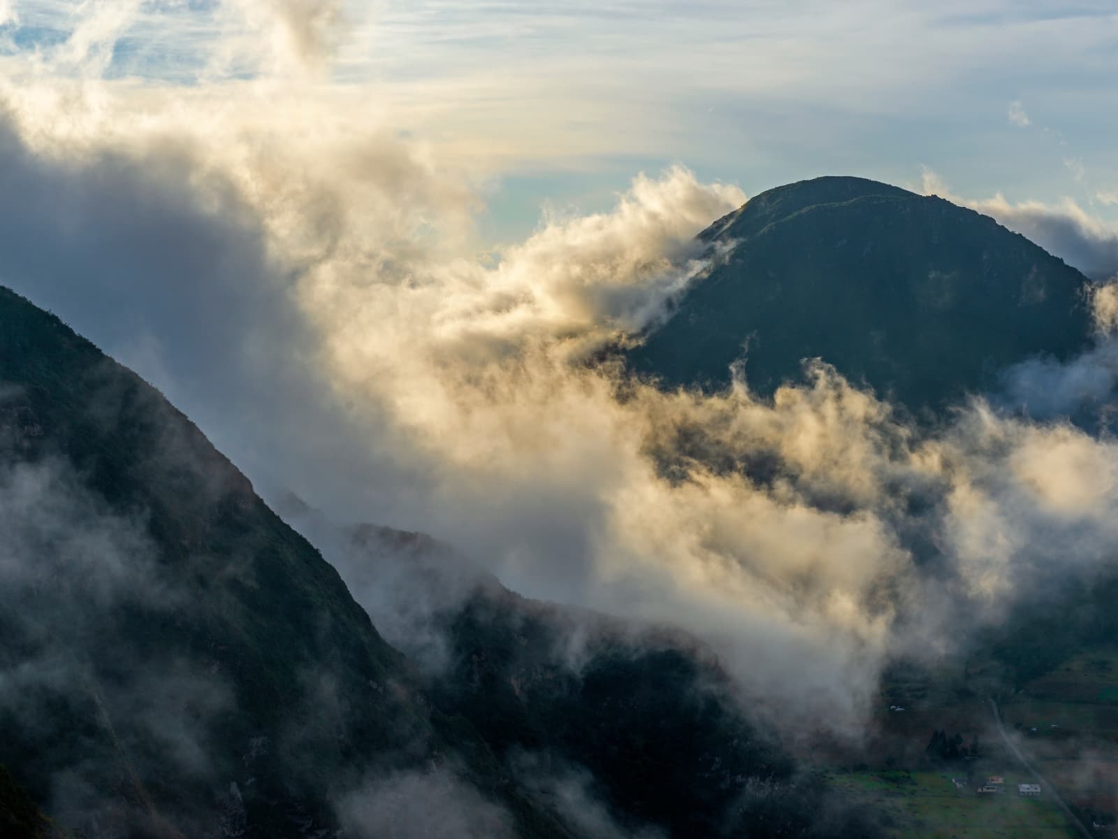
Mist may reveal or conceal the view within minutes, so avoid planning around a guaranteed panorama.
Plan before leaving
Mountain roads, daylight and weather influence the experience. Confirm current conditions rather than relying only on a fixed online itinerary.
Ask about road conditions, opening information and any current restrictions.
Cloud and travel times can change, so avoid tightly stacking several distant stops.
Confirm trail difficulty, transport, equipment and guide needs before committing.
Regional context
Continue with nearby nature guides that explain waterfalls, cloud forest geography and a balanced short stay.
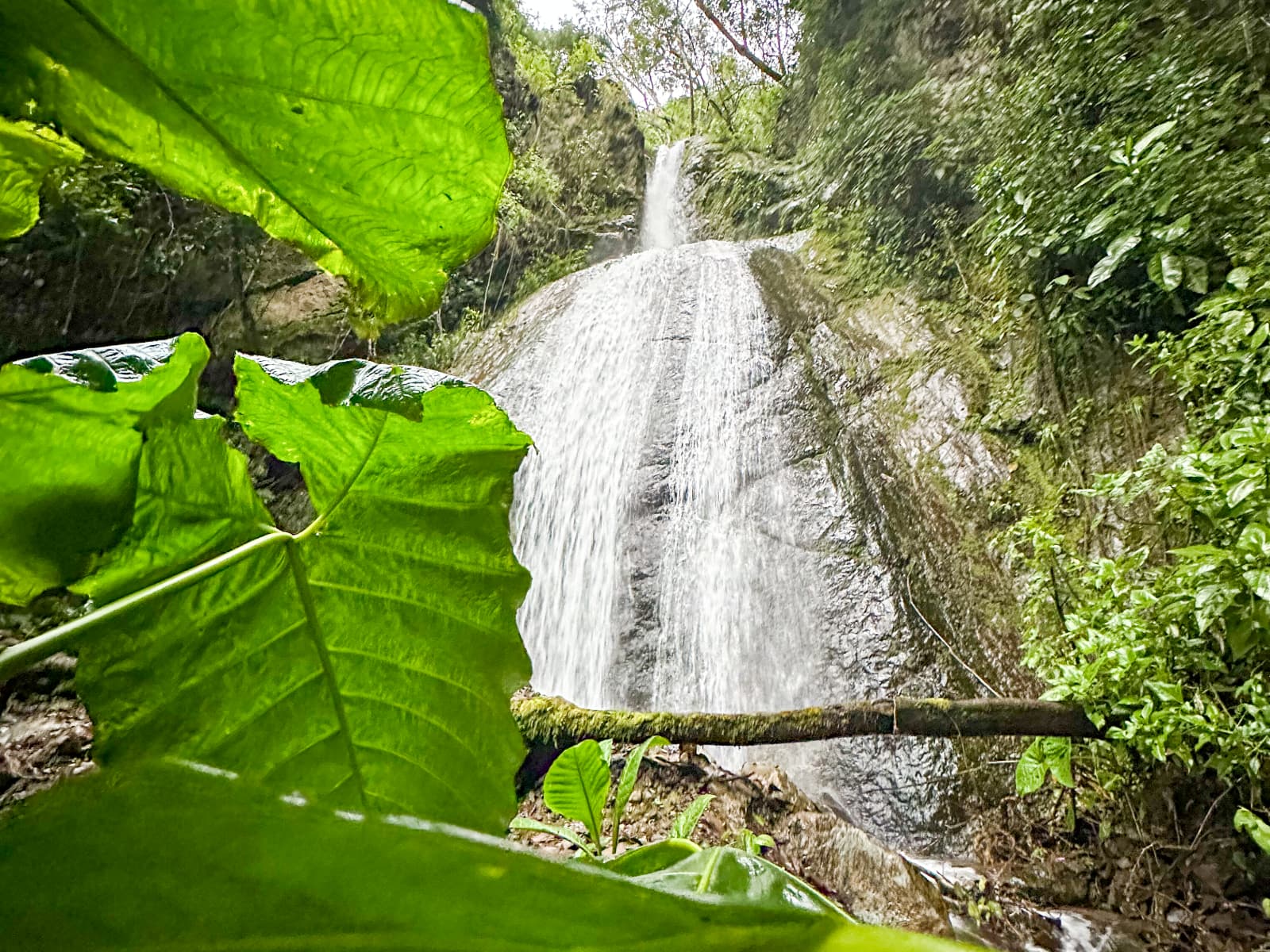
Compare route conditions and access before adding a waterfall.
Explore →
Place Pululahua alongside other outings without overloading the itinerary.
Explore →
Combine one main outing with time to enjoy the retreat.
Explore →Travel with care
Respect residents, stay on suitable routes and adapt to current conditions.
Follow signs and current local guidance.
Carry layers and make conservative choices when visibility drops.
Keep noise low and avoid entering private land.
FAQ
Clear answers before adding this landscape to your stay.
Travel time depends on the route, road conditions and the exact access point. Ask the host for current planning guidance rather than relying on a fixed estimate.
Routes and conditions vary. Confirm current access, difficulty, daylight, equipment and whether a guide is appropriate before hiking.
No. Mist, rain and cloud can reduce visibility quickly, which is a normal part of the mountain environment.
It may fit with another nearby stop, but travel time and weather matter. Plan one priority outing and confirm what is realistic for the day.